
Geological Forces Reshaping Northern India
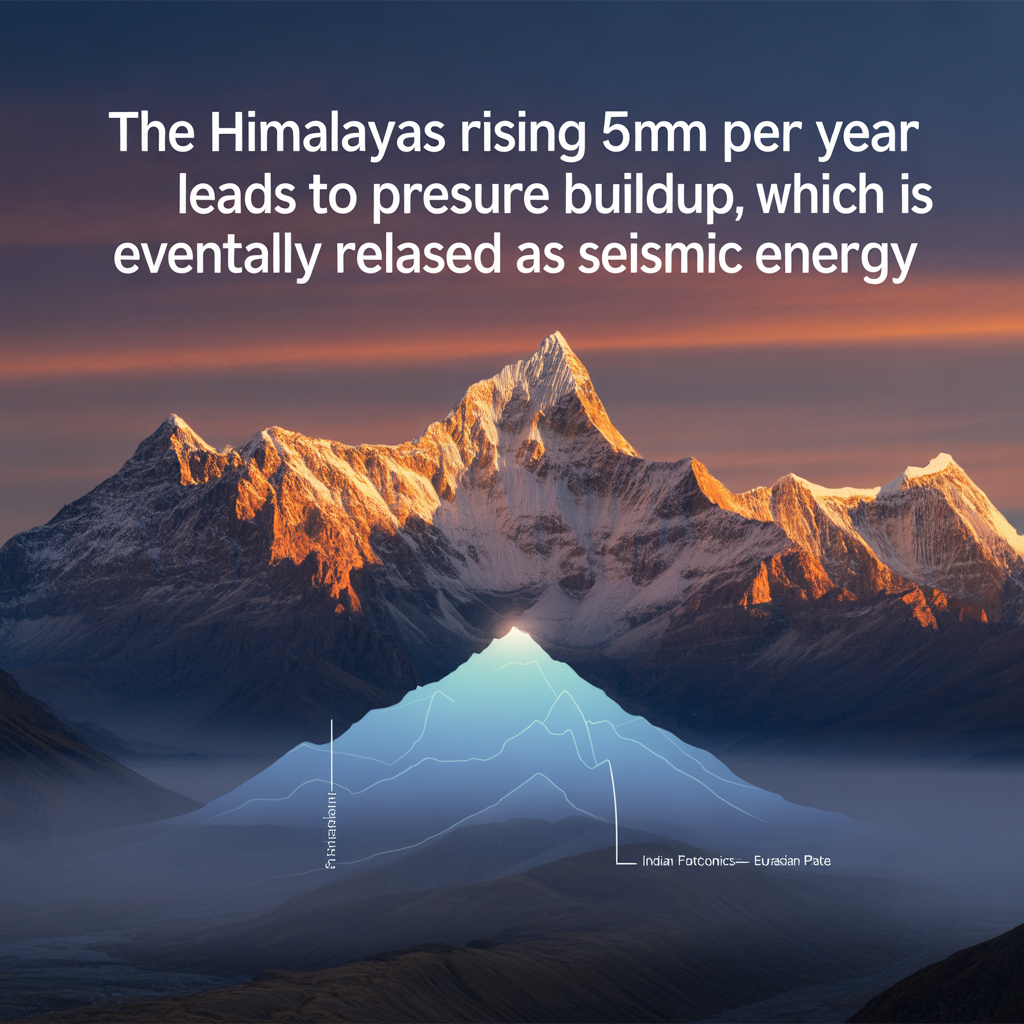
The Himalayas are rising 5mm per year due to the ongoing tectonic collision between the Indian Plate and the Eurasian Plate, according to new findings by Indian geologists. This continuous uplift is a direct result of crustal compression along the Himalayan arc and is contributing to increased earthquake risks across northern India.
Experts from the Geological Survey of India (GSI) and the National Centre for Seismology (NCS) confirm that the Himalayas rising 5mm per year is not just a long-term geological trend—it’s a present and active force reshaping landscapes, displacing river systems, and affecting infrastructure and settlements in high-risk zones.
“The Himalayas are still actively forming. The rise of 5mm annually may seem small, but its implications for seismic activity are serious,” said Dr. S.K. Jain, former Director at IIT Roorkee and an earthquake engineering specialist.
Regions Most Affected by the Uplift
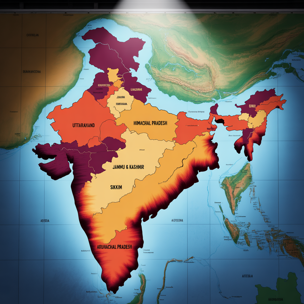
The most vulnerable states are:
- Uttarakhand
- Himachal Pradesh
- Jammu & Kashmir
- Sikkim
- Arunachal Pradesh
These states fall within Seismic Zone V, the most earthquake-prone classification in India, according to the Bureau of Indian Standards (BIS).
🔗 Seismic Zone Map – National Centre for Seismology
Urban regions like Delhi-NCR, Srinagar, and Gangtok are particularly sensitive due to proximity to fault lines and dense population clusters.
Why Are the Himalayas Rising 5mm Per Year?
The Himalayan uplift is caused by continental collision—specifically, the northward movement of the Indian Plate, which crashes into the Eurasian Plate at an average rate of 40–50 mm per year.
The process includes:
| Geological Process | Description |
|---|---|
| Plate Convergence | Indian Plate pushes under the Eurasian Plate |
| Crustal Compression | Rock layers fold and fault, stacking over one another |
| Isostatic Adjustment | Vertical uplift as the Earth’s crust responds to pressure |
| Seismic Release | Earthquakes result from accumulated stress |
This results in the Himalayas rising 5mm per year, confirmed by GPS monitoring and ISRO satellite data.
🔗 Geological Survey of India – Plate Tectonics
Seismic Impacts of the Himalayan Uplift
Earthquakes in this region are frequent and often devastating. The following major quakes are directly linked to tectonic stress in the Himalayas:
| Year | Location | Magnitude | Impact |
|---|---|---|---|
| 2015 | Nepal | 7.8 | 9,000+ deaths |
| 2005 | Muzaffarabad (J&K) | 7.6 | 80,000+ deaths (India & Pakistan) |
| 1991 | Uttarkashi | 6.8 | Over 700 lives lost |
| 2011 | Sikkim | 6.9 | Structural damage across NE India |
“The Himalayas rising 5mm per year leads to pressure buildup, which is eventually released as seismic energy,” said Dr. K. Rajendran, professor of geophysics at the Indian Institute of Science (IISc), Bengaluru.
Environmental Changes Due to Himalayan Uplift
The ongoing uplift has multiple environmental and geological consequences:
1. River Systems Alteration
The slope of rivers like the Ganga, Brahmaputra, and Yamuna is changing, influencing their speed, sediment flow, and flood patterns.
2. Landslides
Steeper slopes caused by rising terrain have increased the frequency and intensity of landslides, especially during the monsoon.
3. Glacial Melt and Water Flow
The rise impacts glacial behavior and alters seasonal water flow downstream, affecting agriculture and hydropower generation.
4. Sedimentation and Erosion
New sediment from uplift zones deposits in riverbeds, raising flood risks in plains.
Ongoing studies by the Central Water Commission (CWC) and the National Institute of Hydrology (NIH) are examining the cumulative effects of these changes on India’s river basins.
Preparedness Measures and Mitigation Strategies
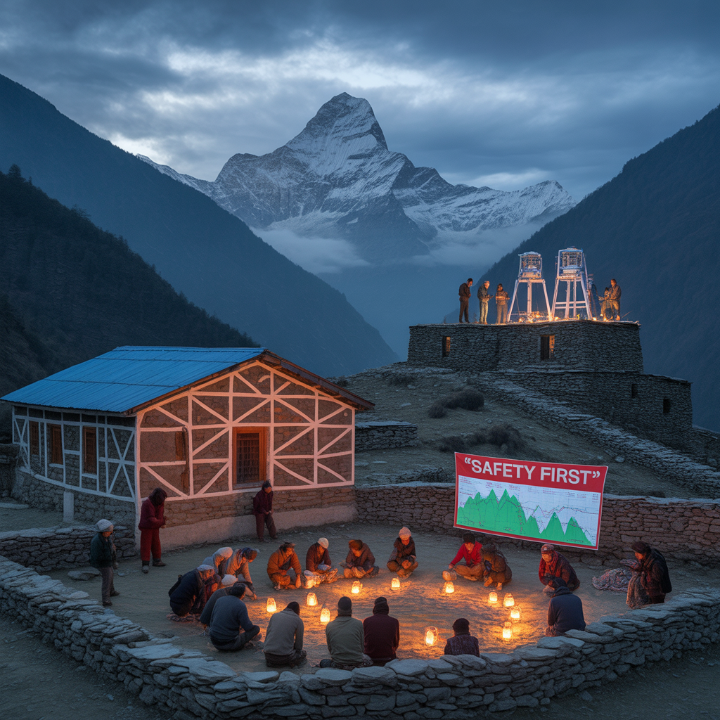
Recognizing the danger posed by the Himalayas rising 5mm per year, the Indian government has intensified efforts to strengthen monitoring, awareness, and infrastructure:
- ✅ Seismic Microzonation: Detailed mapping of cities like Delhi, Guwahati, and Shimla to identify risk zones
- ✅ Updated Building Codes: Implementation of earthquake-resistant design under the National Building Code (NBC)
- ✅ GPS and Satellite Tracking: Data from ISRO and MoES (Ministry of Earth Sciences) track tectonic shifts in real time
- ✅ Public Awareness Campaigns: Training programs and earthquake drills in schools and public offices
🔗 Read about India’s earthquake zones (Internal link)
Regional and Global Monitoring Partnerships
India has also increased cooperation with neighboring countries that share the Himalayan belt:
- 🔄 Data sharing with Nepal, Bhutan, and China
- 🤝 Joint seismic simulations and disaster drills
- 📡 Integrated warning systems using AI and remote sensing
These efforts aim to enhance early-warning capabilities and reduce casualties during major seismic events.

